AUSTIN ATLAS / 0130.2672° N · 97.7431° W
N
1 mile approx.
SELECT A PLACE. GET A FEEL FOR IT.Six starting points
02 / THE NEIGHBORHOODS
Zilker
A little closer to the water.
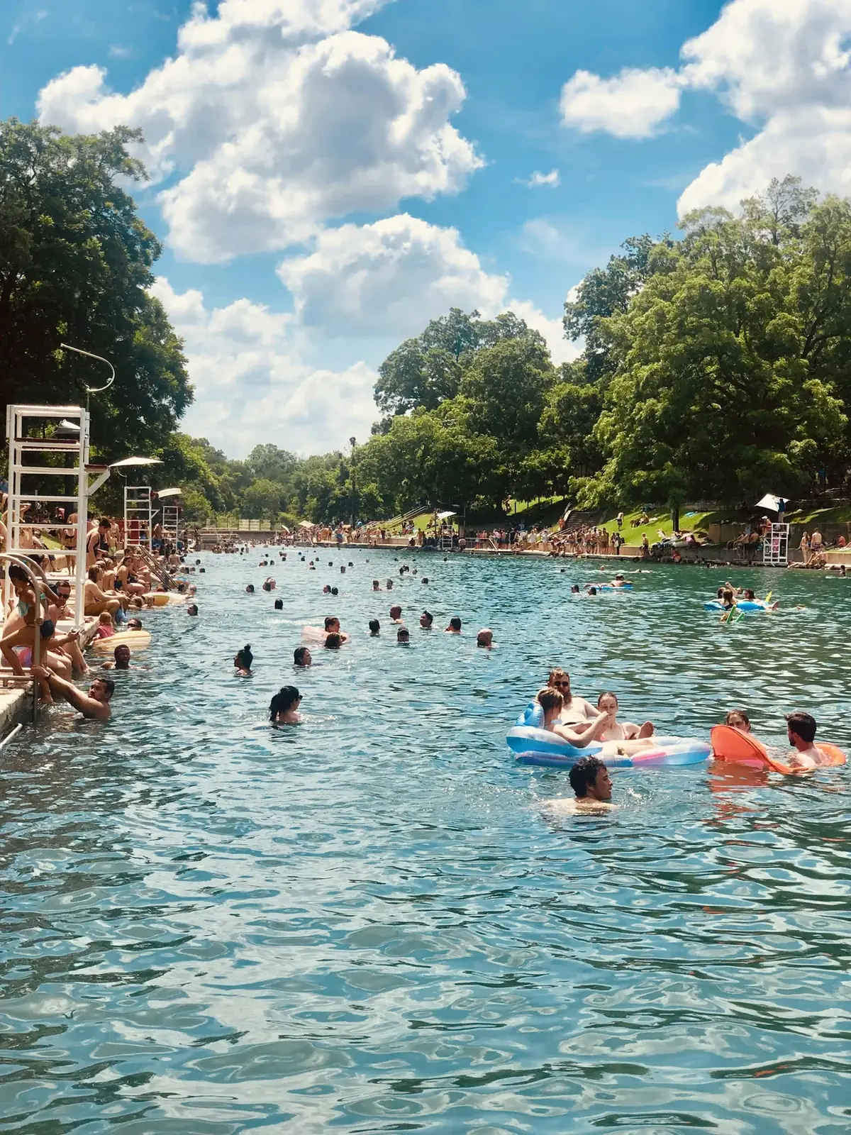
Barton Springs Pool, Austin · Alex George · Unsplash
South of the lake, the relationship between neighborhood streets and Austin’s outdoor spaces comes into focus. Start with the park, then explore the blocks beyond it.
Map: City of Austin, Geospatial Services – Data Development. Hyde Park and Bouldin Creek use planning areas; other extents are approximate editorial guides. Pattern is illustrative, not a street map. Lakes: City of Austin hydrology. Map notes ↗
FROM NEIGHBORHOOD TO ADDRESS
Once a place feels right, investigate the parcel.
Use the Austin Property Research Desk to organize official City records, permit history, flood context, historic status, trees and private restrictions.
Open the research desk